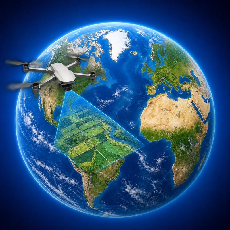
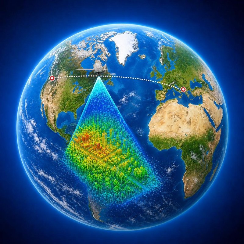
World Imaging is a small studio of surveyors, pilots, and route-makers. We measure landscapes with millimetre precision — and design the trips to visit them.
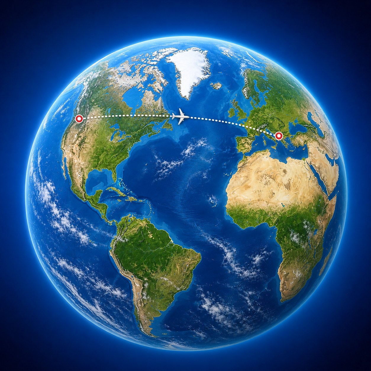
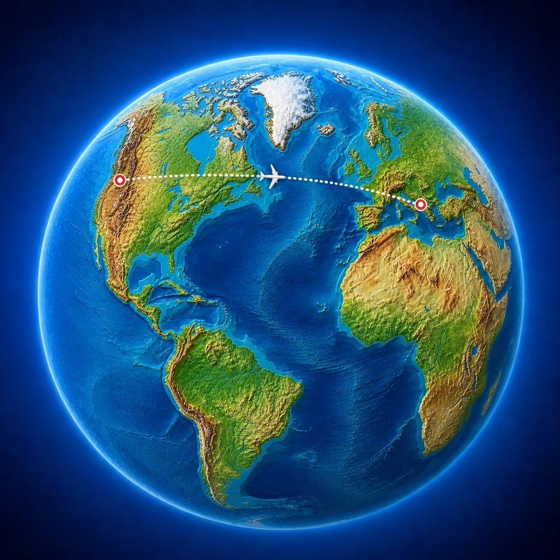
The discipline of measuring the world. We deploy UAVs, LiDAR, and topographic survey methods to produce data that engineers, planners, and conservation teams can act on with confidence.
From a single tower to a thousand-hectare watershed — we'll scope, fly, and deliver.
Explore geomatics services
“They mapped our entire watershed in three days, then sat down with us and explained the geology over coffee. Engineers and travel guides — that's a strange combination, and it's exactly what we needed.”
Itineraries designed around landscapes worth understanding — geological, cultural, ecological. We travel them with you, or hand you the maps to go alone.
Every trip includes custom-printed topographic field maps and a route briefing from one of our surveyors.
Plan a tripFor travellers who want what isn't in the guidebook. Each alternative is a route we've personally surveyed and mapped — quieter, stranger, often harder, always worth it.
Three times the size of Banff, with a fraction of the visitors. Horse trails and alpine larch.
Same volcanic Cyclades geology, same cliff-side villages, a fraction of the cruise traffic.
An Inca site only 30% excavated. Two-day descent into the Apurímac canyon. Almost no one.
Tanzania's second-tallest peak, an active stratovolcano. Four-day climb through giraffe country.
“The map they made of our valley is now framed in our office. The trip they planned around it is the best we've ever taken. I genuinely don't know how to categorize this company, but I keep recommending them.”
Field-grade topographic sheets, decorative wall pieces, planning dossiers, web GIS dashboards — all sourced from our own surveys or open data, hand-styled in QGIS and Illustrator.
Ask the AI assistant for quick answers, or send the form for a detailed reply within two business days.